On the traces of geologic history: the strata between Bulla in the Val Gardena and Passo Pinei provide an insight into a bygone era - a very special walk on the geologic trail
Image gallery: Geotrail Bulla
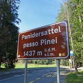
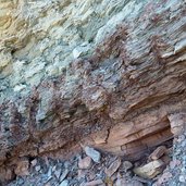
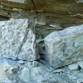
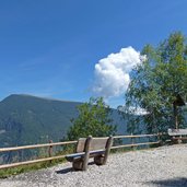
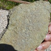
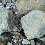
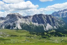
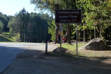
The Bulla Geotrail, stretching between Ortisei and Passo Pinei, makes you get an insight into the evolution of the Val Gardena and the Dolomites. The walk starts at Passo Pinei (Pinëi), situated along the road from Ortisei to Castelrotto.
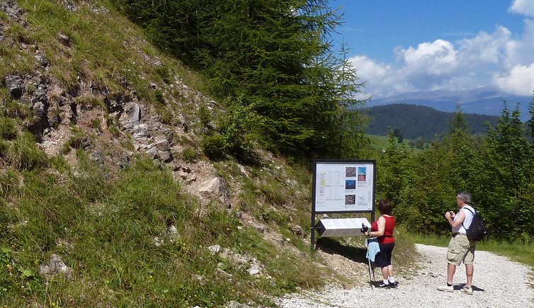
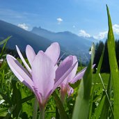
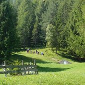
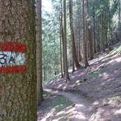
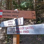
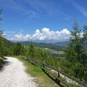
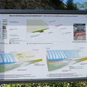
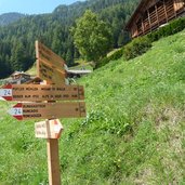
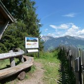
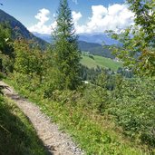
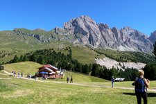
From here we walk past the Hotel Panider Sattel, on the path n° 3A towards Bulla. This first section makes you walk past blossoming meadows with single larch trees and Swiss stone pines. Slightly rising, the small path leads across the forest (signpost 3A), until the signpost "Geotrail" indicates a way down on the left that soon after joins a forest road. This is where the geologic trail actually starts. Time and again, along the forest there are panels providing information on the geologic strata in this area.
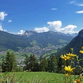
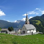
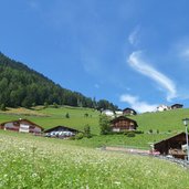
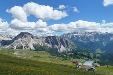
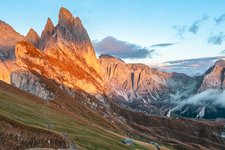
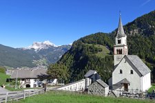
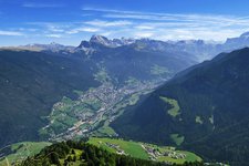
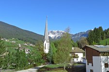
After a curve you reach the village of Bulla and the trail joins the local road network. Having visited the lovely centre, we proceed the way up across the meadows on the west side of the valley (signposts 24 and 3A), passing by beautiful ancient farmsteads, until we reach Col da Locia. Now the Geotrail Bulla takes you on your way back on a path paralleling the one on which you came, just slightly higher. The view of the Val Gardena with Ortisei, Mt Seceda and the Odle Group in the background is just amazing.
Author: AT
-
- Starting point:
- Passo Pinei
-
- Time required:
- 02:30 h
-
- Track length:
- 7,5 km
-
- Altitude:
- from 1.447 m to 1.606 m
-
- Altitude difference:
- +322 m | -322 m
-
- Signposts:
- 3A, Geotrail Bulla, 24
-
- Destination:
- Bulla
-
- Resting points:
- Restaurant Hotel Platz
-
- Recommended time of year:
- Jan Feb Mar Apr May Jun Jul Aug Sep Oct Nov Dec
-
- Download GPX track:
- Geotrail Bulla
If you want to do this hike, we suggest you to check the weather and trail conditions in advance and on site before setting out.
